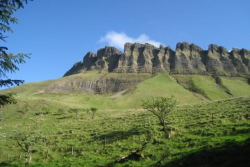
Malin Head, in County Donegal, is renowned for its rugged coastal landscape and attractive beaches. The area is steeped in history and folklore. Malin Head is an area for all tastes, including walking, fishing, swimming, photography, studying rock formations or rare flora and it is close to Inishowen’s splendid golf courses. Discover some of the largest sand dunes in Europe once you enter the Malin Head area via the coastal road, along the north of Trawbreaga Bay at Lagg. Discover some of the largest sand dunes in Europe at the famous Five Finger Strand from Knockamany Bens.
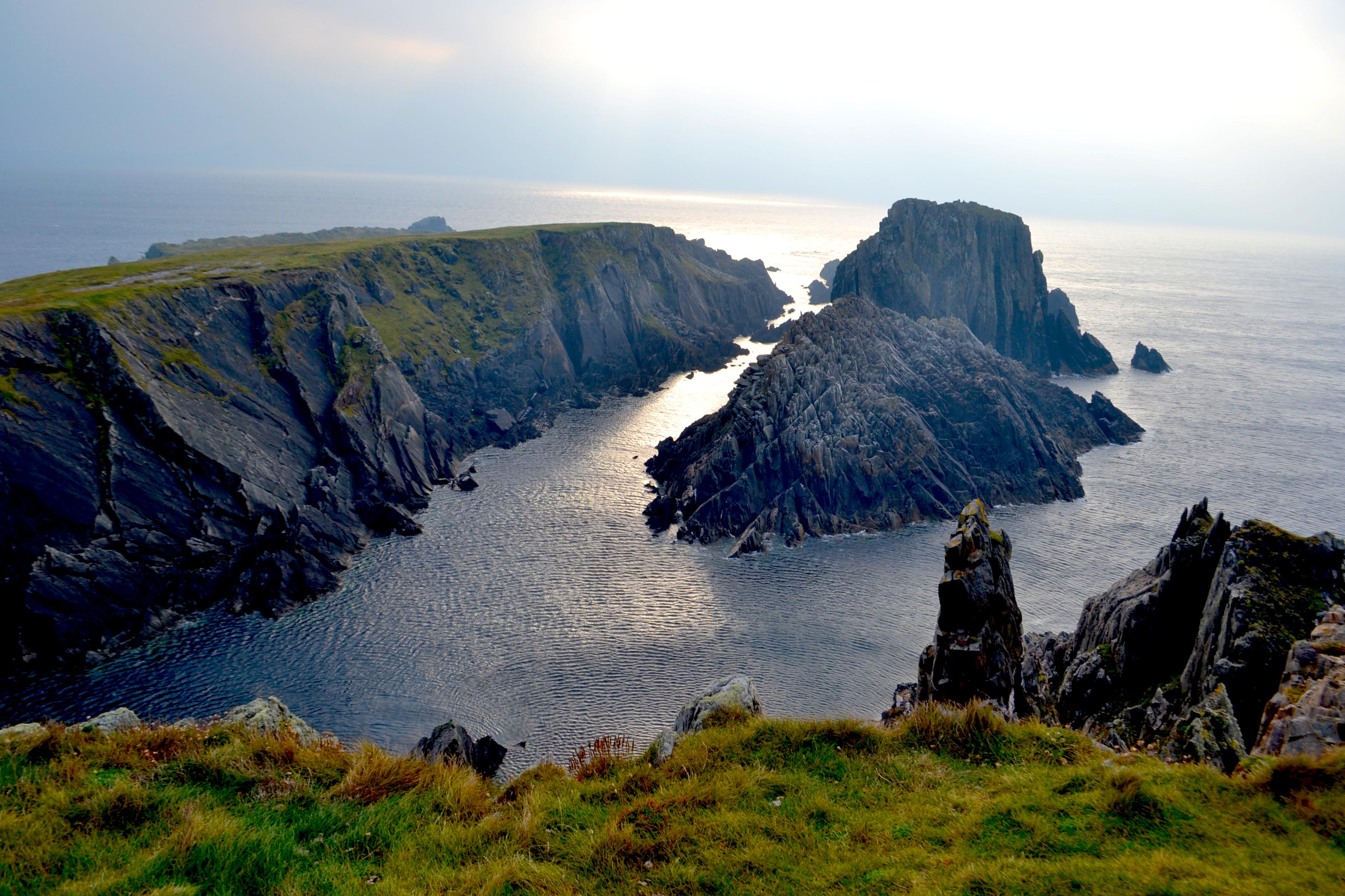
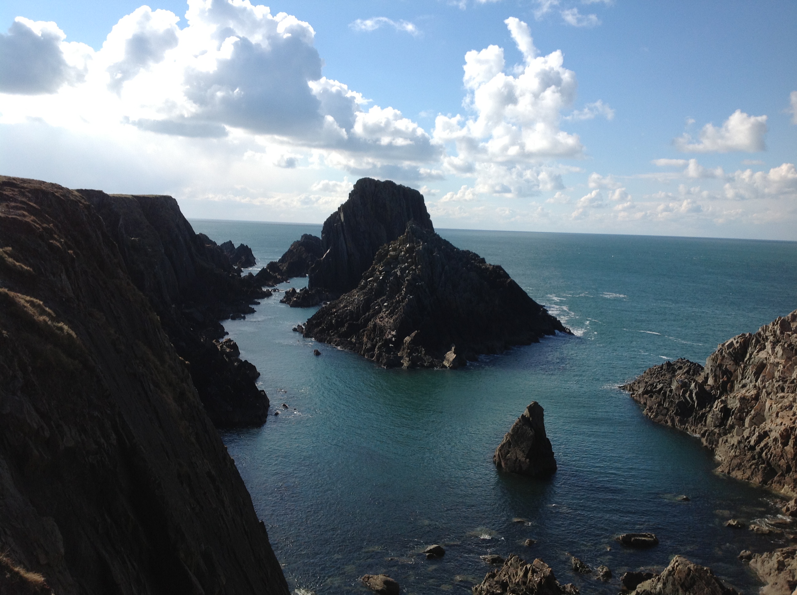
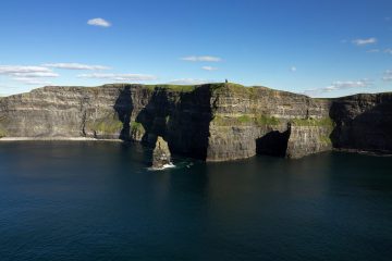
At low tide, see if you can spot the wreck of the Twilight, which sank in 1889 on its voyage to Derry. The circuit of the head will take you past the radio station, built in 1910, and round the coast to Banba’s Crown, the northern tip of Ireland. Here, a tall derelict building known locally as The Tower, was constructed in 1805 by the Admiralty and later used as a Lloyds signal station which served as a most important news link connecting America and Europe. From Banba's Crown, Inishtrahull Island and its nearly two hundred year old lighthouse can be seen to the north east and further out ot the east on a clear day you can see the Scottish Hills. At this point you can picnic on the very last headland before Greenland. On a clear day you can see Tory Island to the west. It is also a perfect starting point for a ramble along the cliffs to Hell’s Hole, a remarkable subterranean cavern 250 feet long and 8 feet wide, into which the tide rushes with great force.
Nearby is a picturesque natural arch called the Devil’s Bridge. Malin Head (Irish: Cionn Mhálanna) is located on the Inishowen Peninsula, County Donegal, Republic of Ireland and is the most northerly point of the island of Ireland. The northernmost tip is the headland named Banba's Crown located at latitude 55.38ºN. Malin Head gives its name to the Malin sea area. There is a weather station on the head, which is one of 22 such stations whose reports are broadcast as part of the BBC Shipping Forecast.
Ptolemy's Geography (2nd century AD) described a point called Βορειον (Boreion, "the northern") which probably referred to Malin Head. Banba's Crown on Malin Head is the most northerly point of the Irish mainland. Banba was one of the mythical queens of Ireland. Banba's Crown is about 16 km (10 mi) north of the village of Malin. The island of Inishtrahull is further north, located approximately 10 km (6 mi) north east of Malin Head. Further north still is the most northerly landfall of Ireland, Tor Beg rock. Malin Head is home to small businesses such as pubs, restaurants, shops and a large call centre called, Forward Emphasis International, which employs many of the local residents. Malin Head is the home of Caffe Banba, a popular coffee truck which travels around the area which now has its own café in Carndonagh To the north east Inistrahull Island can be seen. The first lighthouse on the island was put into operation in 1813, and the light flashes every 30 seconds.
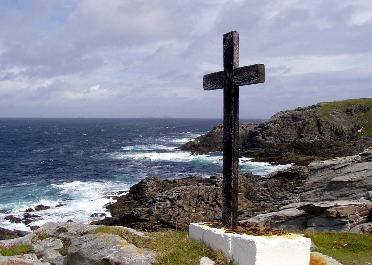
Above Banba's Crown to the east lies Ballyhillion beach, a unique raised beach system of international scientific importance . The very distinct shorelines show the changing relationship between the sea and the land from the time the glaciers began to melt, some 15,000 years ago. At that time County Donegal was depressed by the weight of an immense ice sheet, so the level of the sea, relative to today's shore, was up to 80 feet higher than today. A military watchtower was built at Banba's Crown in 1805, during the Napoleonic Wars. Around 1902, a signal station was also built at Banba's Crown, quite close to the old Napoleonic watchtower. Both of these buildings still stand.
During World War II, the Irish Government allowed the British Government to site two radio direction finders on Malin Head. This top-secret operation was mentioned in The Cranborne Report. The RDF equipment was used to monitor U-Boat and aerial activity in the North Atlantic. After the war, the site became a weather station for the Met Éireann and a Navtex transmitting station. Today, it is still used as a functioning weather station for the north west part of Ireland. On a section of land jutting out from the mainland at Banba's Crown, the word 'Éire' can be seen in large letters that were formed from placing stones together to form the letters. This was to signify to overflying planes that they were passing Ireland and that Ireland was neutral.